
I didn’t have any ongoing projects for work so I decided to load up the Jeep with my camping gear and the dog, and head up into the mountains. I’d been eyeing a place in the White River National Forest for some time. It’s north of Glenwood Canyon (Interstate Highway 70) and south of the Flattops Wilderness Area. It’s way up on top of a huge plateau that averages around 10,000 feet (3,000 m) in elevation. I’d been part way up the road before, but hadn’t continued all the way back in to explore. So I had my destination.
Now I just had to get on the road. I got a bit of a late start. It had been a while since I’d been camping and I was seriously out of practice packing. It was after 9:30 when I finally finished loading all my gear and Moki into the Jeep and rolled out of the driveway. From our house, there are really only three good ways to head west and get over the Continental Divide: I-70, Trail Ridge Road in Rocky Mountain National Park (RMNP), and Highway 14 West of Fort Collins and along the Cache La Poudre River. I had the hard-top off the Jeep so decided to avoid the wind, traffic and road noise of I-70. Highway 14 although gorgeous, is pretty far north and a bit out of the way, so I decided to go through RMNP. An added benefit of going this way was I got to drive up Old Fall River Road, which is a gravel road the goes through a narrow canyon up to the Alpine Visitors Center. This looked like a great alternative to Trail Ridge Road, the highest continuously paved road in the United States, which can be packed with gawking tourists stopping in the middle of the road to take pictures of themselves hanging out their car windows.
Old Fall River Road is one-way so no need to worry about pulling over on narrow exposed cliff ledges to let other cars pass. Just cruise up and enjoy the scenery. The road is well maintained and four wheel drive is not needed when it’s dry. For more information on the National Park Service website, click here.
Old Fall River Road
A great way to the top of Rocky Mountain National Park.
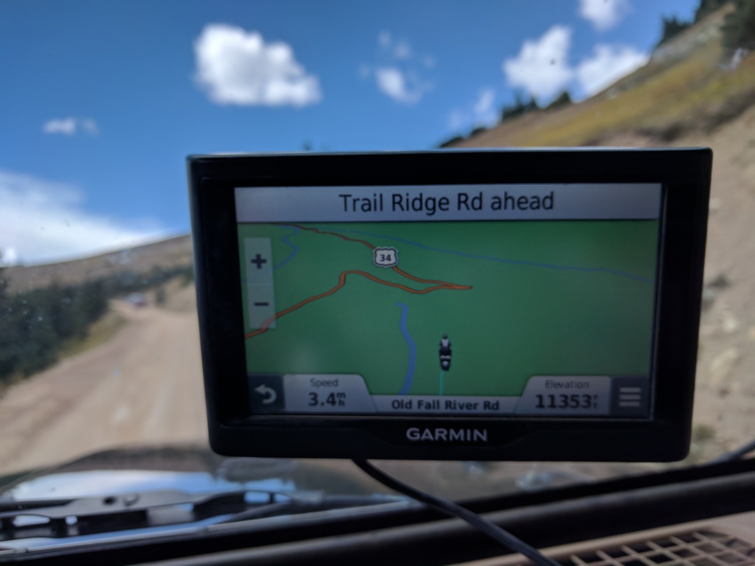
GPS Elevation
11,353 feet (3,500 m) above sea level
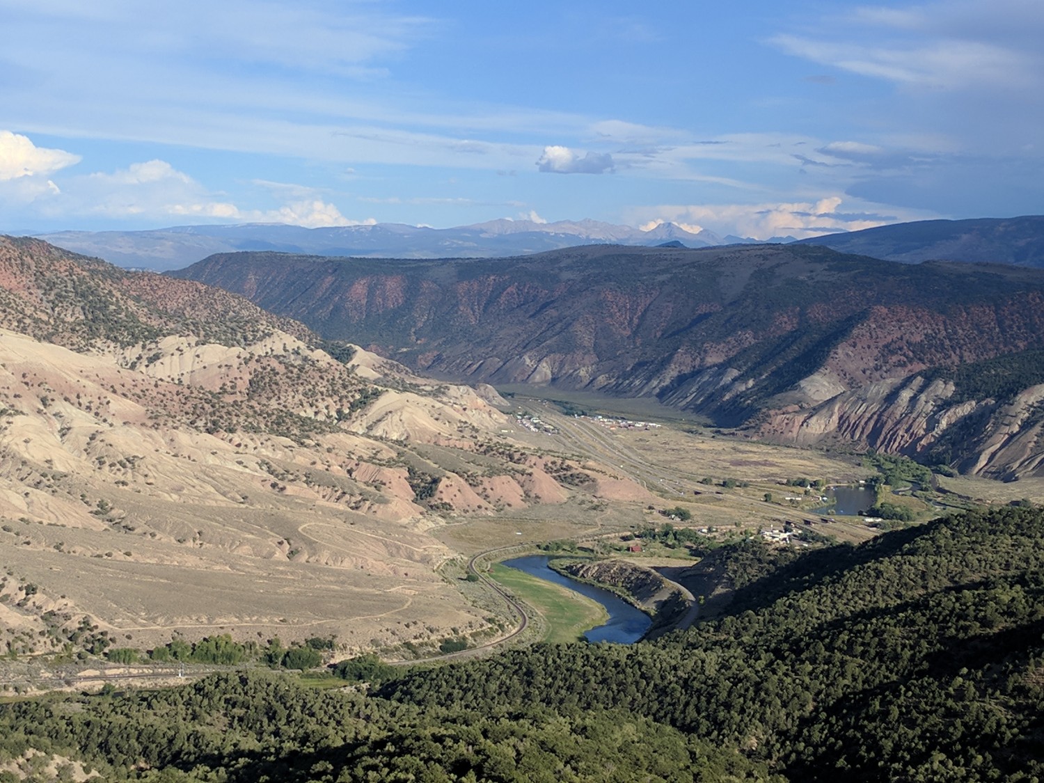
I-70 From Above
Looking at Interstate Highway 70 from the road up to camp.

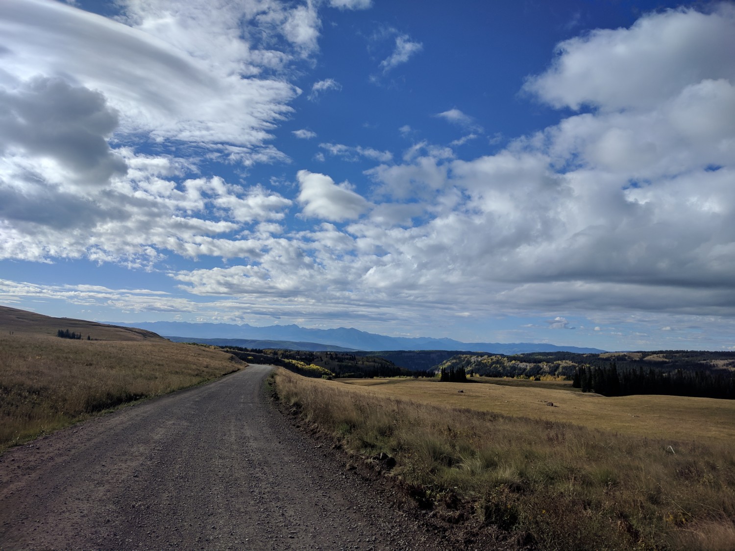
High Mountain Plains
Wide open plains at high altitude.
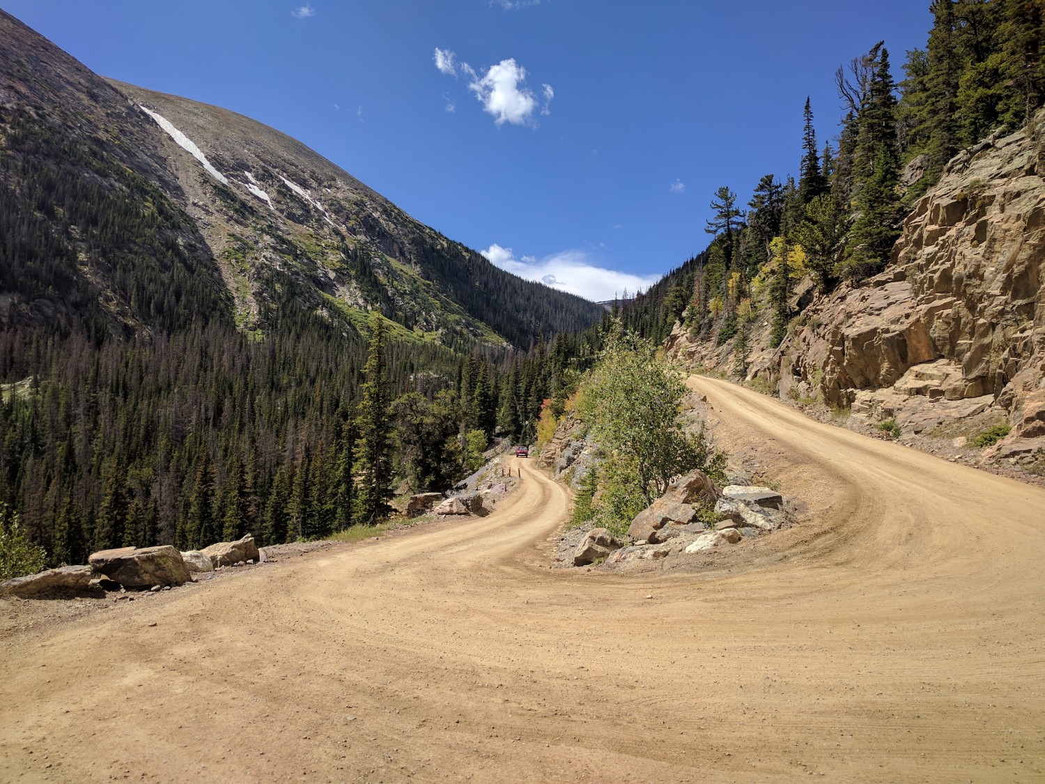
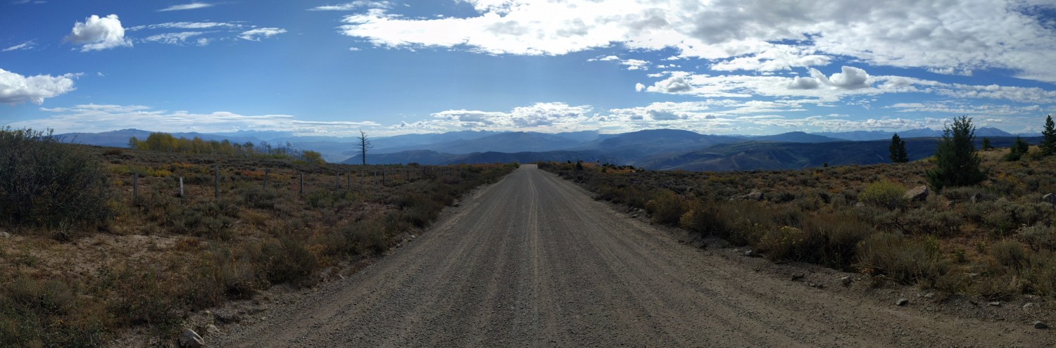
Gravel Roads
Heading South out of White River National Forest.
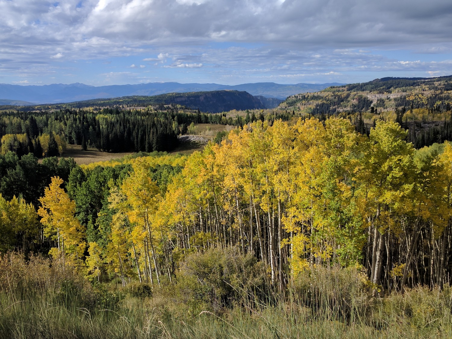
Fall Colors
The leaves are changing a couple of weeks early this year.
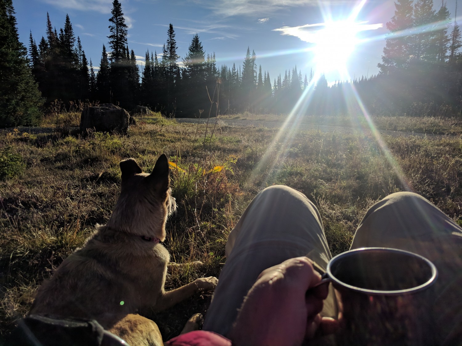
Morning Coffee
Moki enjoys watching the sunrise almost as much as I do.
Heading Down
This is the route down the mountain. The Collegiate Peaks are in the distance.
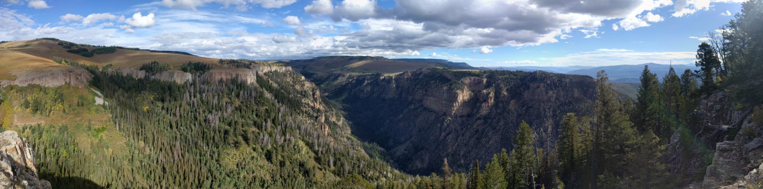
Deep Creek Canyon
We drive up the east end of this amazing canyon on the way into the White River National Forest.
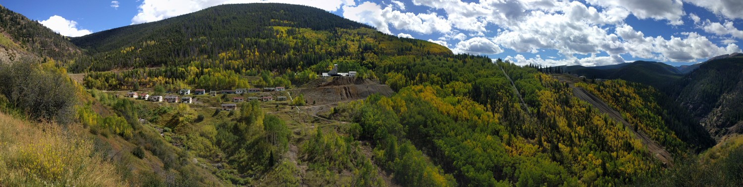
Old Mining Site
An old mining site on Highway 24 just South of Minturn as heading up to Tennessee Pass.
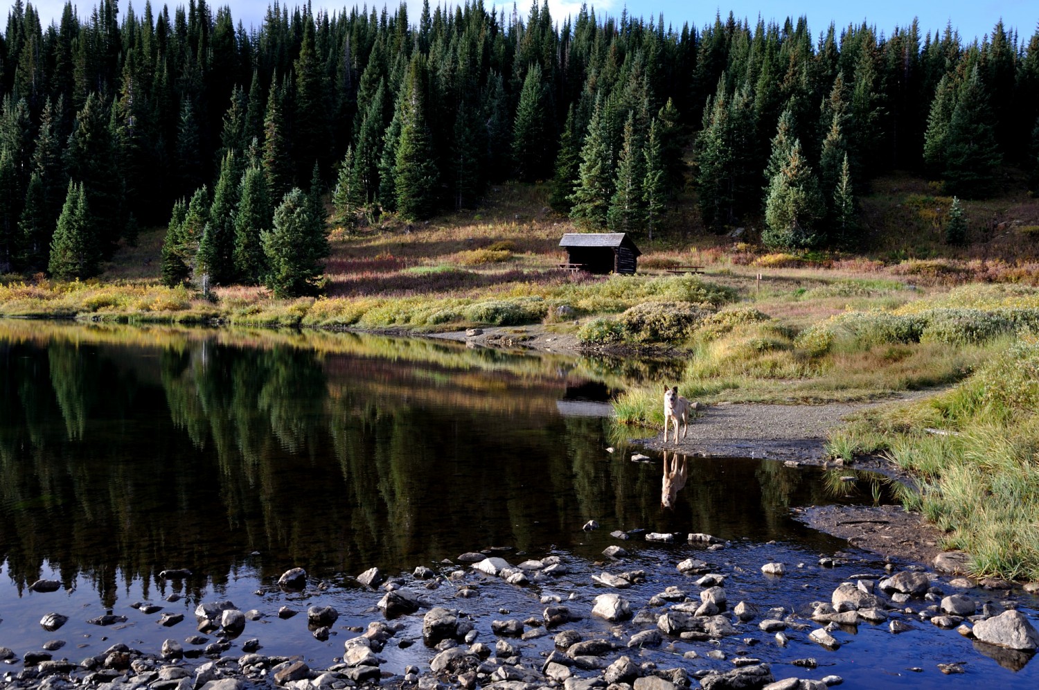
Moki Reflection
A calm morning gave this almost perfect reflection of Moki and the trees behind her.
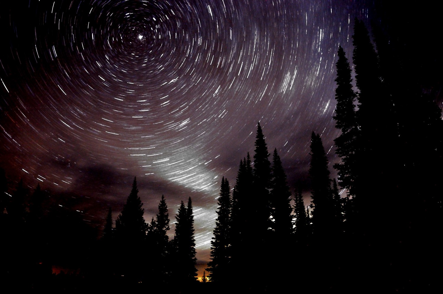
Spinning Stars
I accidentally left the wrong settings when taking this 30-minute exposure, but the editing in post produced this interesting shot.
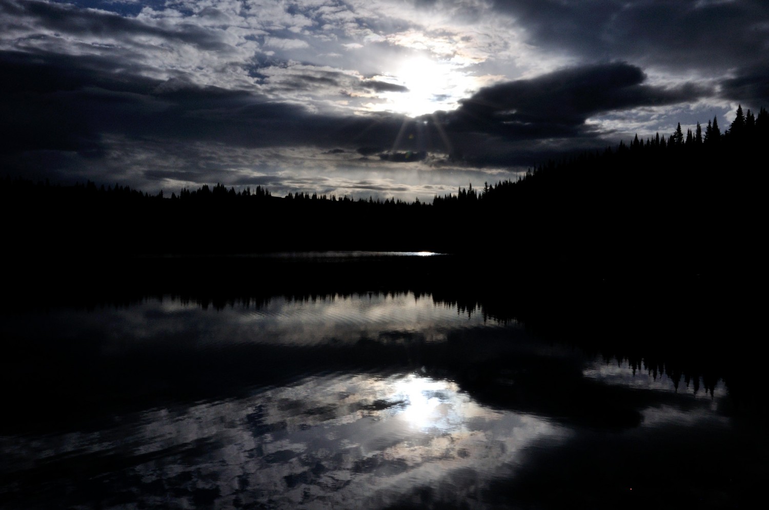
Sun Reflection
A very calm lake for a great reflection shot.
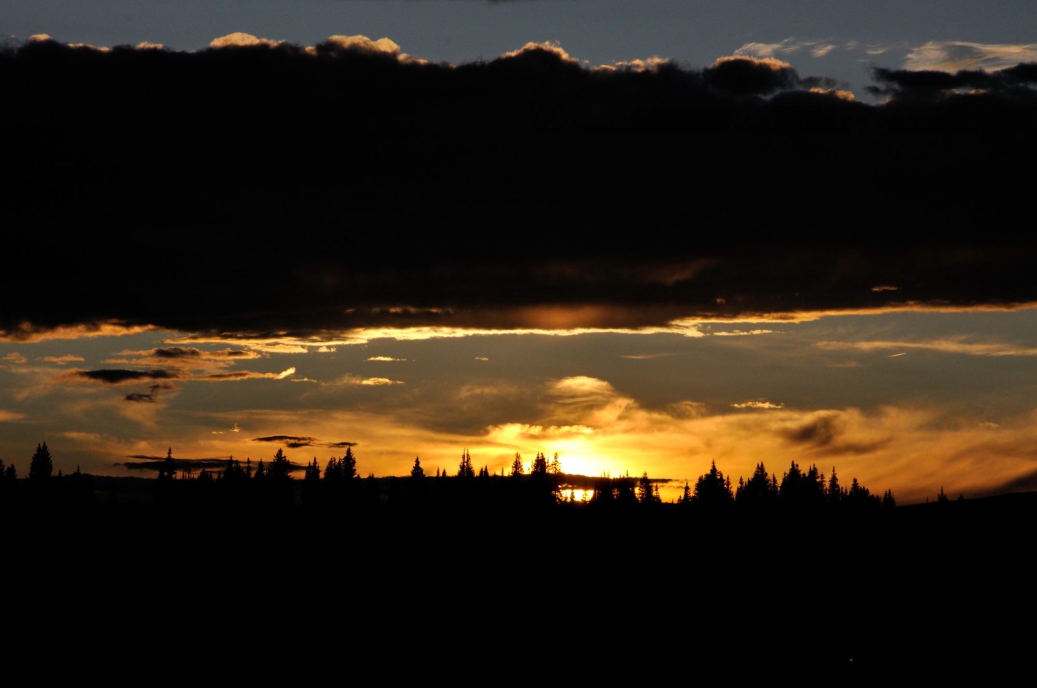
Sunset
I was racing like a bat out of hell to get to a camp in time to catch this sunset. I was rewarded for my effort.
After getting to the top, we rolled down the west side of the divide looking at the Never Summer mountain range to the northwest and marveling at the devastating beetle-killed pine forests in the Grand Lake area. I swear 50%-60% of the pine trees around here are dead. I made me think there’s going to be one hell of a fire one these years. We headed down past the standing dead and hooked a right at Granby on Highway 40 towards Kremmling. After a quick fill up we shot south just a mile or so and turned off on the gravel Trough Road that follows the Colorado River for about 25 miles. This area is another beautiful wide open expanse and a popular river rafting day trip from the Pump House to State Bridge. It’s nice to ponder that the not yet so mighty Colorado River further downstream in Arizona continues to carve the spectacular Grand Canyon.
At State Bridge, we turned north on Highway 131 for just a few miles until we turned onto another gravel route called the Colorado River Road just north of the tiny town of McCoy. This was a new road for me and I thoroughly enjoyed watching the landscape change from green sagebrush to red clay and stone.
More to come…
Recent Comments